One of the great day trips from Cape Town, South Africa is the magnificent Cape Point Route. This is also one of the most remarkable drives anywhere in the world and features steep cliffs, stunning vistas and plenty of sightseeing opportunities!
“In Cape Town, there’s a drive from Cape Point to Camps Bay where the road is hewn out of the cliffs. It’s just stunning, particularly if you do it as the sun is going down.” – Sean Pertwee
The route starts in Hout Bay (although some would include the northern extension from Hout Bay up to Camps Bay in the drive as well) and head’s south through the Table Mountain National Park. We stayed at the Tintswalo Atlantic lodge, which is strategically positioned right at the start of Chapman’s Peak Drive and the Cape Point Route.
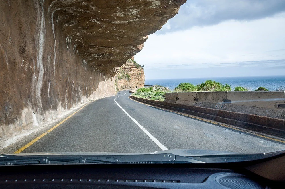
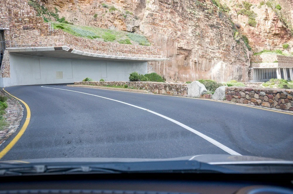
The Champman’s Peak Drive grabs your attention almost immediately! While only 9km in length, there are over 100 tight, winding curves carved into the vertical rock face of Chapman’s Peak. Construction on the road began during World War I and concluded in 1922, providing a more direct route from Cape Town to the Cape Peninsula.
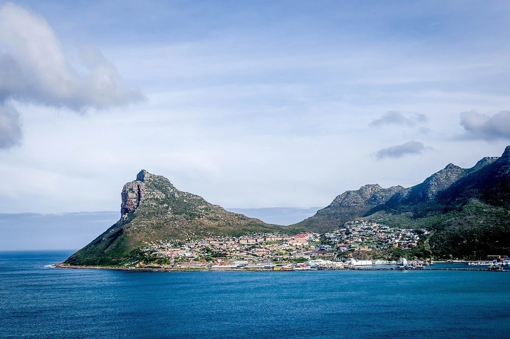
Heading south, you hug the mountain tightly. But when you drive north, you are right on the cliff’s ledge making it a thrilling drive! From the road, you look across Hout Bay at the majestic Sentinel Peak in the distance, which is beautifully framed at sunset every evening. Chapman’s Peak Drive is one of the most thrilling roads anywhere and is this day trip!
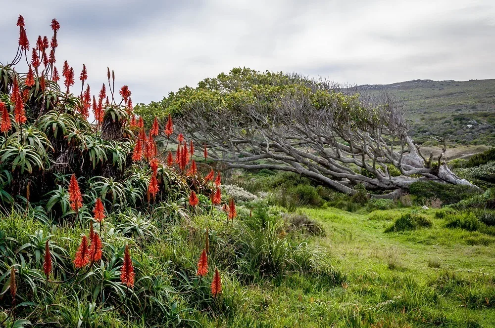
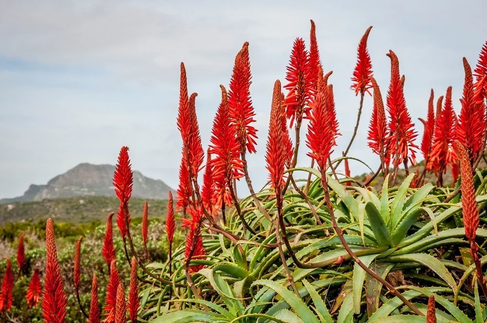
Nearly the entire drive falls within the Table Mountain National Park – an 85 square mile area covering most of the peninsula. The area also falls into the Cape Floral Region Protected Areas, a UNESCO World Heritage Site. Despite being such a small area, over 20% of the entire flora biodiversity on the continent of Africa is crammed into this small area, including the protected Fynbos plants (the bushes with small leaves that dot the hillside).
In school, we learned that the Cape of Good Hope is the most southern point in Africa. When the early mariners rounded this rocky outcropping, they started heading north to warmer weather. This is also the place where the Atlantic Ocean and Indian Ocean meet. Unfortunately, it’s all wrong.
The most southern point in Africa is Cape Agulhas, which is where the cold Atlantic Ocean (Benguela Current) and the warmer Indian Ocean (Agulhas Current) meet. However, in the 1400s and 1500s, mariners believed otherwise because Agulhas is less impressive.
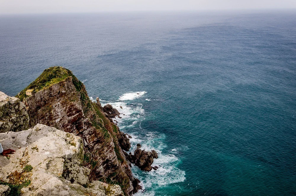
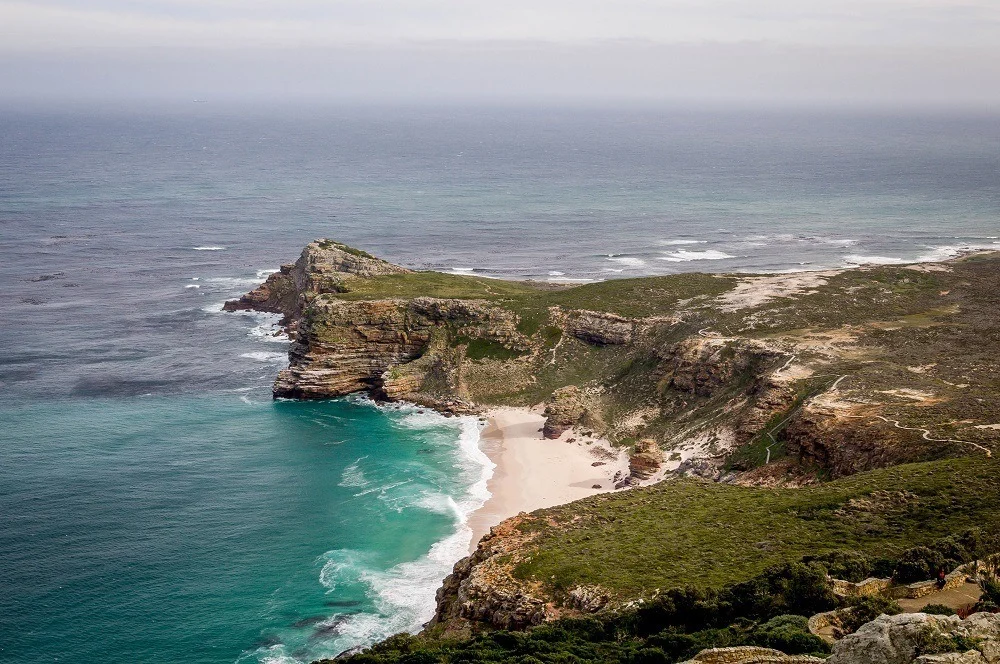
The Cape Peninsula includes the rugged, impressive knife-edged Cape Point and the more understated Cape of Good Hope. The latter is slightly further south (34.3581° S) than the former (34.3572° S), even though the opposite appears to be true.
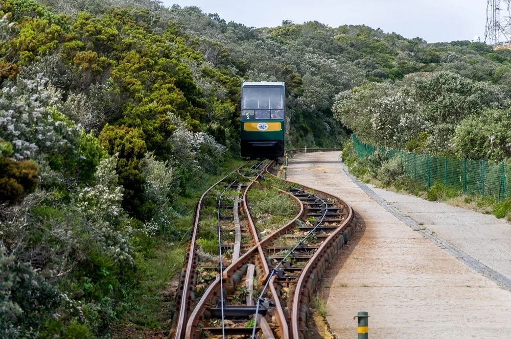
Visitors can hike up to the Cape Point Lighthouse for stunning views of the ocean and the Table Mountain National Park. For those less inclined to hike, the modern Flying Dutchman Funicular whisks visitors nearly 300 vertical feet up the mountain in under three minutes. From the top of the funicular, it is a short 10 minute walk up to the lighthouse. The stairs to climb up can be quite steep and narrow.
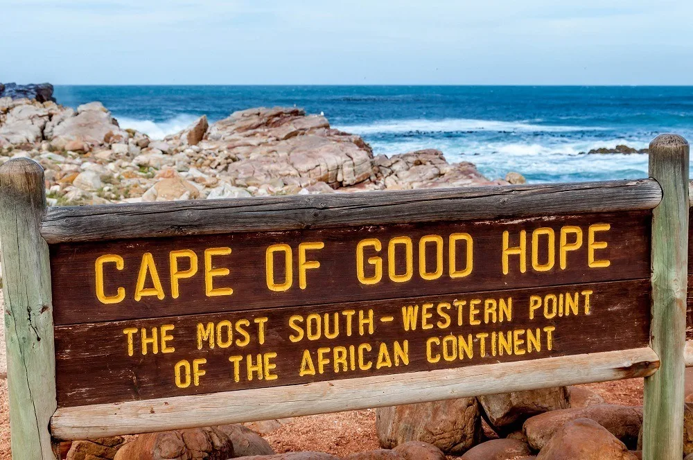
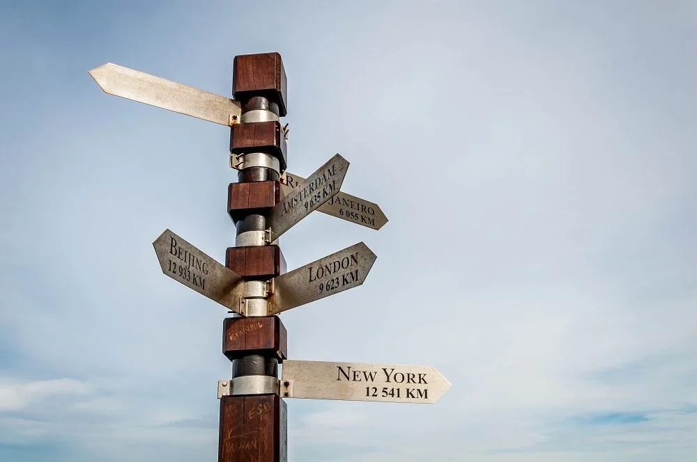
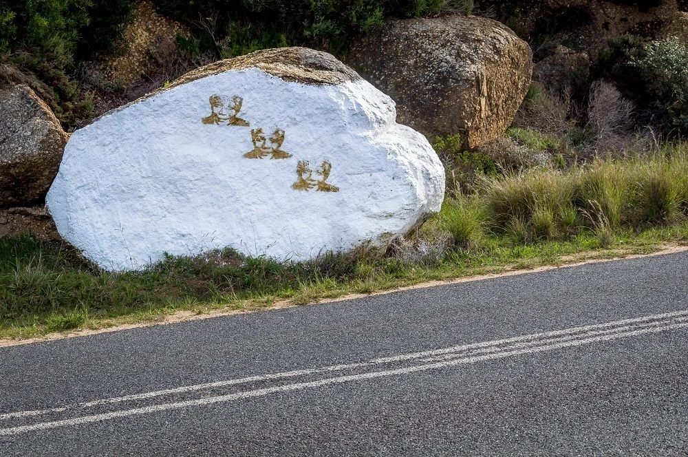
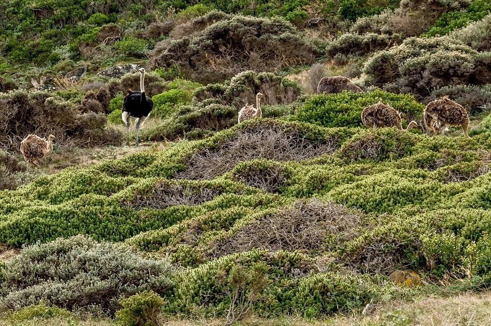
The Cape of Good Hope was a slight detour on the way out of the park. Driving out to the spot, we saw wild ostriches foraging along the hillside. Despite being the most southwestern point in all of Africa, a single sign marks its importance. You won’t find any gift shops or snack kiosks here!
Pulling in, we found a small parking and simple wooden sign marking the location’s significance. As the sea crashed against the rocks, we could almost imagine what those early mariners must have felt passing by this spot.
Heading back to Cape Town, most visitors head east along the M4 route, which hugs the coast of the Great White Shark-infested False Bay. We didn’t see any Great White Sharks, but we did see…PENGUINS!
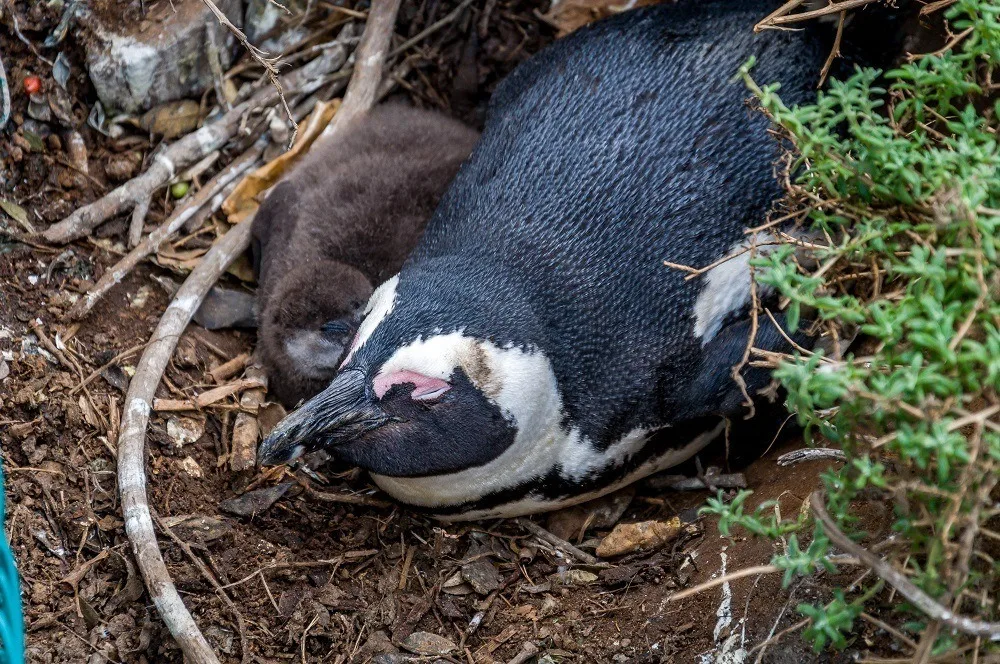
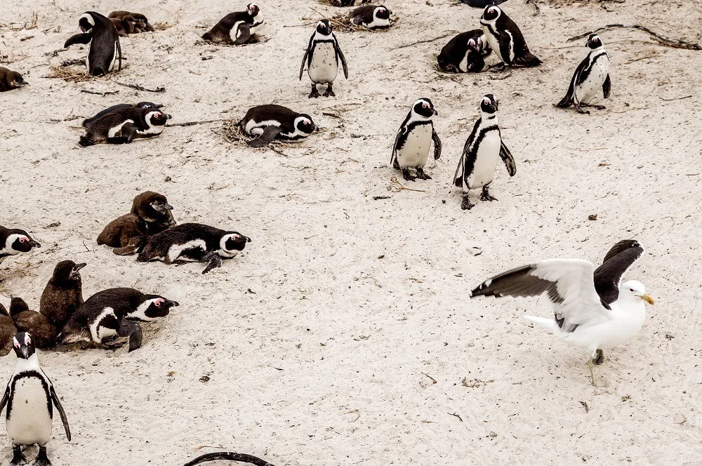
Just off the M4 at Boulders Beach, visitors can get up close to endangered African Penguins. In 1982, four penguins found their way to this beach and never left. Today, there are over 2,200 African Penguins at the Boulders. Walking along fenced off paths, we were able to get within feet to the penguin nests and the young “baby blue” chicks in their natural habitat.
We spent about an hour watching the parents feed the chicks and herd them in groups on the beach. Occasionally, a daring seagull would land on the beach, only to be chased off by several of the watchful parents. The African Penguins are beautiful to look at, but not to smell. The stench is rather powerful, but we were blessed with a nice breeze!
From Boulders Beach, the M4 hugs the coast through the towns of Simon’s Town and Fish Hoek on the way back to the city. Many of the local beaches along this stretch cater to surfers and water enthusiasts.
However, no drive of the Cape Point Route would be complete without a visit to a winery. Quite fortunately, the route ends in the Constantia wine region. What better way to end a Cape Town day trip than a glass of South Africa’s finest?
While there are a number of great wineries in Constantia, we chose the Steenberg Winery, located on Cape Town’s oldest farm. We did a little wine sampling, settled into the Bistro 1682, enjoyed a glass of Shiraz and sampled the tapas, while reflecting on the beauty of the day.
We almost skipped the peninsula in favor of something else in Cape Town – and that would have been a serious mistake. While this peninsula is not the most southern point in Africa, it is a place of stunning, rugged beauty. Of all our time in Africa, this was one of the surprising highlights.
Cape Point Route Visitor Information
Cape Point and the Cape of Good Hope
Overseen by South African National Parks. Hours: 06:00-18:00 October-March; 07:00-17:00 April-September. Restaurant and restroom facilities available at the Cape Point parking lot. No facilities at Cape of Good Hope.
Flying Dutchman Funicular
Hours: 09:30-18:00 summer; 09:30-17:00 winter.
Boulders Beach Penguin Colony
Hours: 08:00-18:30 summer; 08:00-17:00 winter.
Here are few more photos:
Lance Longwell is a travel writer and photographer who has published Travel Addicts since 2008, making it one of the oldest travel blogs. He is a life-long traveler, having visited all 50 of the United States by the time he graduated high school. Lance has continued his adventures by visiting 70 countries on 5 continents – all in search of the world’s perfect sausage. He’s a passionate foodie and enjoys hot springs and cultural oddities. When he’s not traveling (or writing about travel), you’ll find him photographing his hometown of Philadelphia.



Shannon Kircher
Sunday 8th of May 2016
Gorgeous pictures! Heading there this fall and can't even wait for these beautiful views and whale watching season, especially in spring with the flowers in bloom!
Molly
Tuesday 21st of October 2014
What an absolutely stunning route! The flora is gorgeous. So jealous you saw so many penguins :)
Sophie
Sunday 19th of October 2014
Isn't this just the most gorgeous drive anywhere? The landscape, the bluest of blue ocean, the African sun, and of course the penguins... Did you see the baboons, too?
Laura Longwell
Sunday 19th of October 2014
The drive is great. We were lucky to avoid the baboons on this part of the journey, but we saw plenty elsewhere.
Claire @ ZigZag On Earht
Wednesday 1st of October 2014
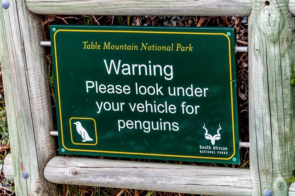
Some of those shots are so funny: the rail, the road sign to check under the car. But I really like the one with the beautiful laying tree.
Murray Clark
Wednesday 24th of September 2014
Drove this route in 2012 when in Africa for 2 months between Cape Town and Nairobi, and it is a stunning day out of Cape Town. Have been to Cape Agulhas, the most southern tip of Africa, but not as scenic as this route, but worth going for the experience. You can see many photos of our Africa trip, including one month on safari between Johannesburg and Nairobi, as well as over 8,000 photos from around 80 countries all over the world.